

Rail Trails
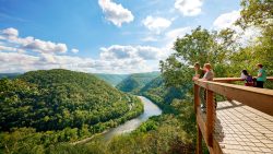
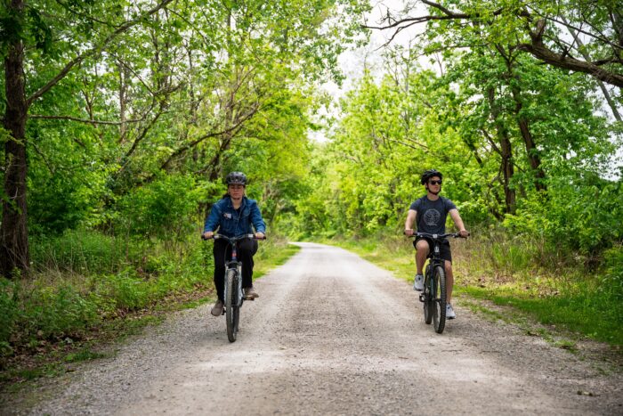
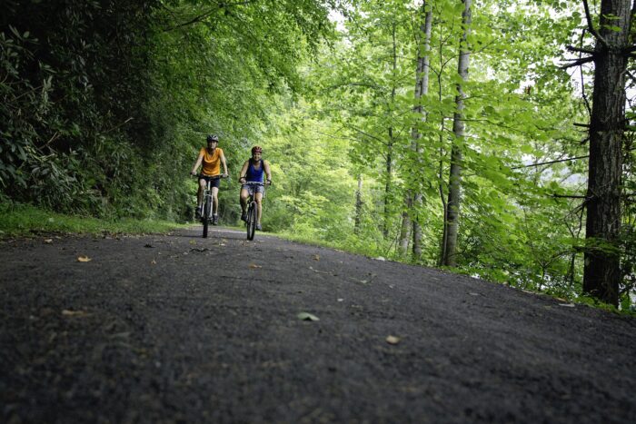
The railway giants of the past have provided a legacy of over 560 miles of West Virginia train tracks, repurposed into exceptional trails for your bike riding adventures. Find your trail from easy and flat, to more challenging climbs. You’ll pass through tunnels and over bridges, stop by historical sites and scenic stops and maybe even find some peace and quiet along the way. Grab a friend and head through some of the most beautiful landscapes that Almost Heaven provides.Rail Trails in Almost Heaven
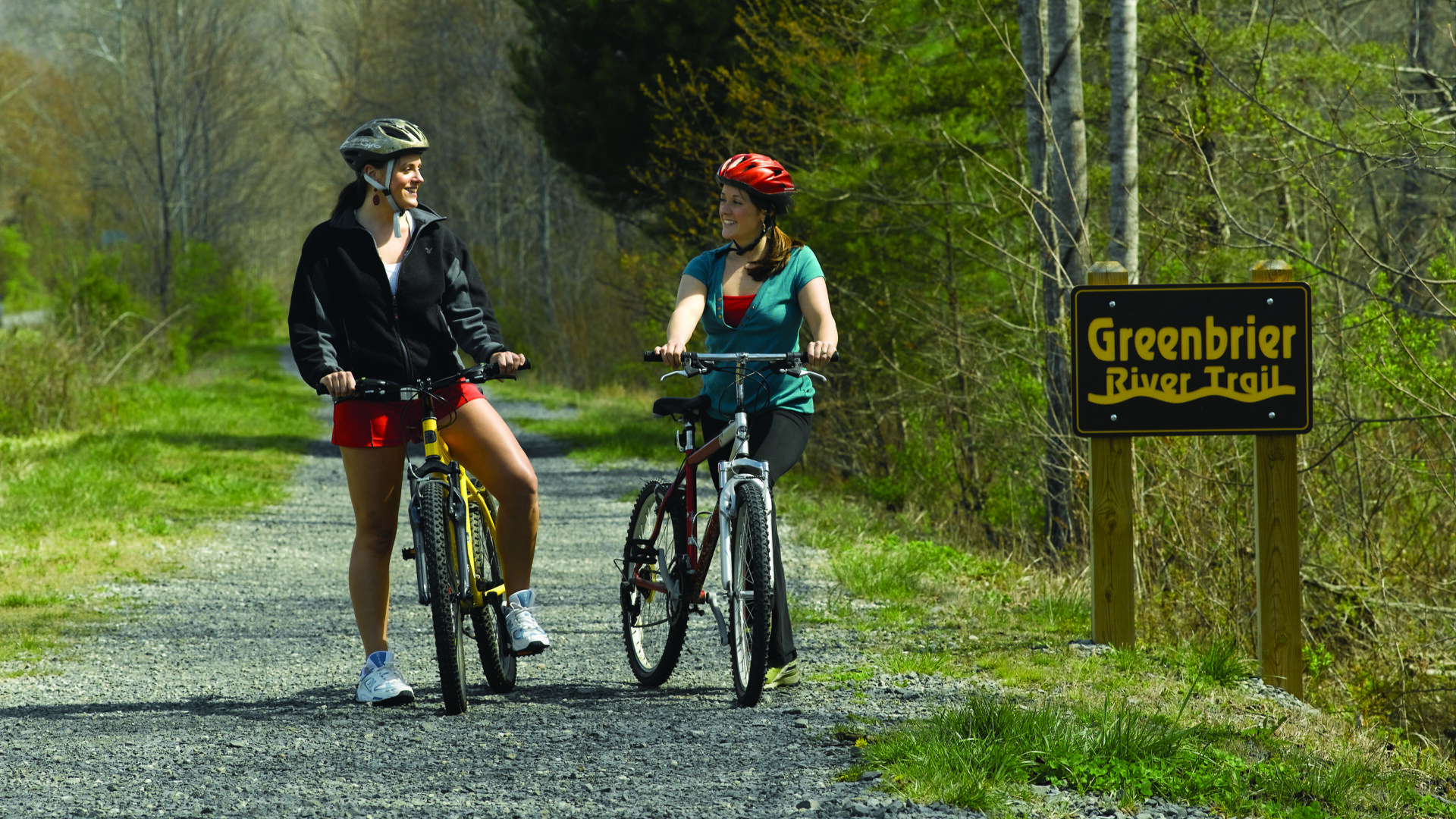
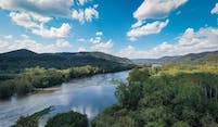
Greenbrier River Rail Trail
A fantastic multi-use trail to discover by hiking, biking, and horseback riding. The Greenbrier River Trail is always a beautiful experience as the trail passes through small towns, crosses 35 bridges, and goes through two tunnels. Once part of the famed Chesapeake & Ohio Railway, the trail spans 78 miles and takes travelers through Calvin Price State Forest, Watoga State Park and Seneca State Forest.
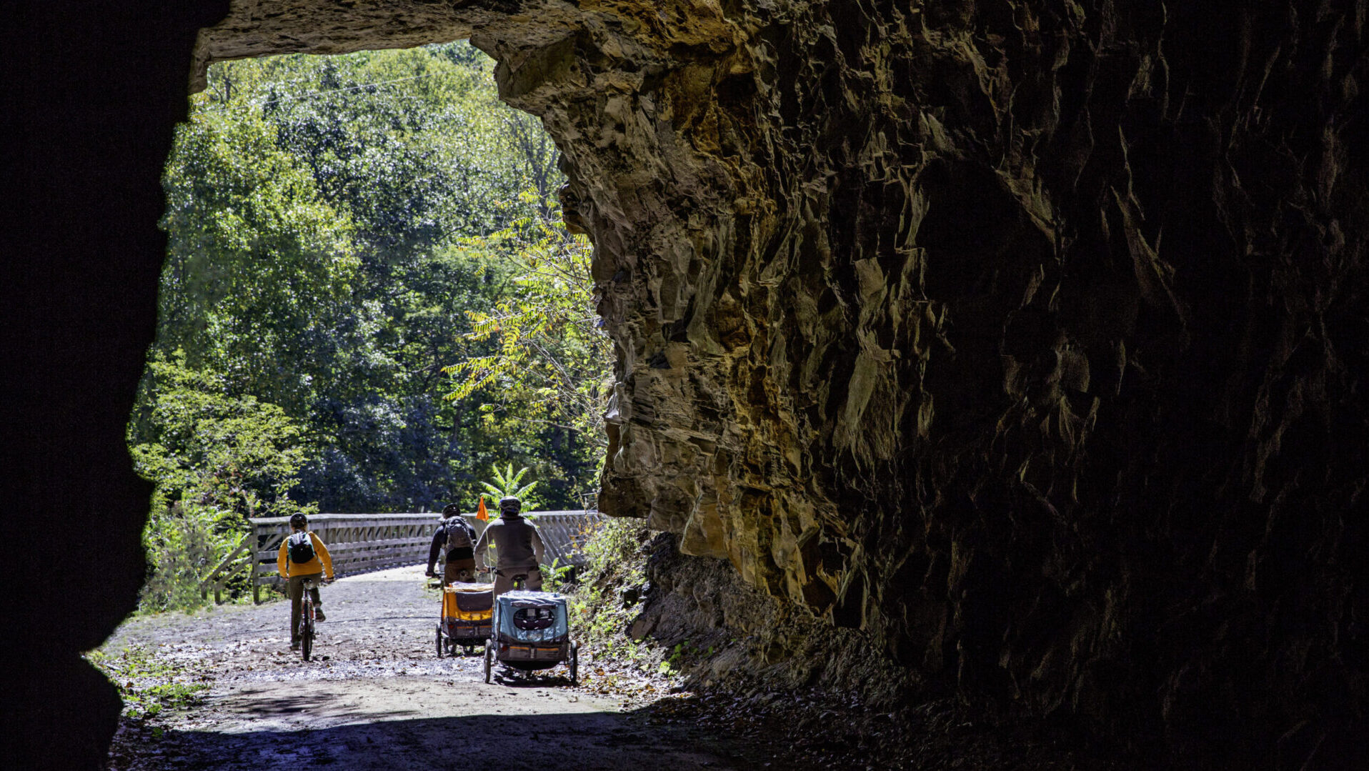
North Bend Rail Trail
Part of the 5,500-mile American Discovery Trail, the North Bend Rail Trail, spans 72-miles, crosses 36 bridges and passes through ten tunnels. On this trail, which was part of the Baltimore & Ohio Railroad, hikers and bikers will enjoy passing by beautiful farmland and passing through the “haunted” Silver Run Tunnel.
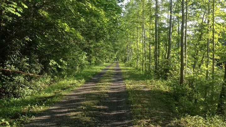
Allegheny Highlands Trail
Following the original route of the West Virginia Central and Pittsburgh Railway, the Allegheny Highlands Trail (AHT) provides 24.2 miles of the most incredible panoramic views. Running from the city of Elkins to the charming mountain town of Thomas beautiful sights and sounds accompany you the entire trail.

Elk River Trail
The Elk River Trail boasts 73 miles of scenery perfect for riding bikes. This rail trail runs alongside the Elk River, the 18-mile Buffalo Creek Rails-with-Trail and the 102-mile Elk River Water Trail, spanning Braxton, Clay and Kanawha Counties.
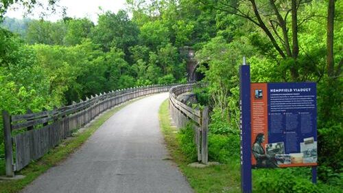
Wheeling Heritage Trail
The Wheeling Heritage Trail provides 16.5 miles of incredible trail, accompanied by beautiful signs along the way, which provides a self-guided tour of Wheeling’s history. This trail takes you through the city of Wheeling, passes along the east bank of the Ohio River and through the Hempfield Tunnel, which was built in 1904.
Caperton/Mon River/Deckers
Creek Rail Trail
Whether you’re looking for an urban ride or a challenging climb, these trails all connect and provide 48 miles of seamless rail-trail adventure. The Deckers Creek Rail-Trail climbs out of Morgantown for scenic views of the creek, rock outcroppings and farmland. The Caperton Trail is an urban trail with trailside connections to city parks, restaurants, playgrounds and shops. The Mon River Rail-Trail follows the Monongahela River from the Pennsylvania state line to Pricketts Fort State Park with many river access areas for fishing and paddling.
How to Start
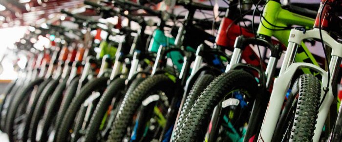
Hopping on a rail trail is a great way to begin your biking experience. Once you figure out what trail you want to ride, find your local bike shop. Most bike shops offer rentals and are great places to get the inside scoop on trails, landmarks, and other must-sees destinations. Rail trails are a great way to explore areas by using a different mode of transportation. Find a friend and bring them along for the ride. If you are in it for short trips, long hauls or overnight trips, there is something for you in Almost Heaven.

What to Bring
Your gear list is always going to vary on the weather, time of year, and biking destination. If you are traveling with friends or a local guide, it is always best to consult them on specific gear needs. However, if you’re just looking for the basics, here’s a helpful list that outlines the gear almost every adventurer needs.
- Bike
- Helmet
- Comfortable clothes to bike in
- Comfortable sneakers or shoes to bike in
- A water bottle with extra water
- Extra layers of clothes depending on the weather
- A rain jacket in case of rainy days
- A small backpack
- Sunscreen
- Insect repellent
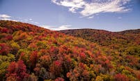
Season
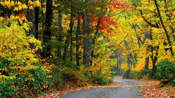
The best time to ride on any rail trail is April through November. Enjoy the warm weather by exploring during the spring or ride through the beautiful colors falls when the leaves begin to turn. There is no wrong time to go when you are riding on country roads or rail trails.
Explore More Biking Adventures
12 must-do races in WV
Are you ready to take on the best trail running and mountain biking races in West Virginia? It’s no secret that the Mountain State is hom…
Read MoreRail trail Almost Heaven: Travel WV by bike
Ever been bike touring? Grab your cycle-friendly camping gear and hit the mountain rail trails. West Virginia has more than 350 miles of ra…
Read More4 most cycle-savvy cities and streets in WV
When it comes to cycling, these West Virginia cities know how to share the road. Pedal through town to explore i…
Read More6 ways to hit the Mountwood Trails
Mountwood Park outside Parkersburg has more than 50 miles of top-rated trails, with everything from traditional hiking to ATV excursions. H…
Read MoreThese trails are the Perfect Way to Explore Almost Heaven
Trails are an incredible way to discover the scenic beauty of Almost Heaven. Around the state, more than 375 miles of different trails are a…
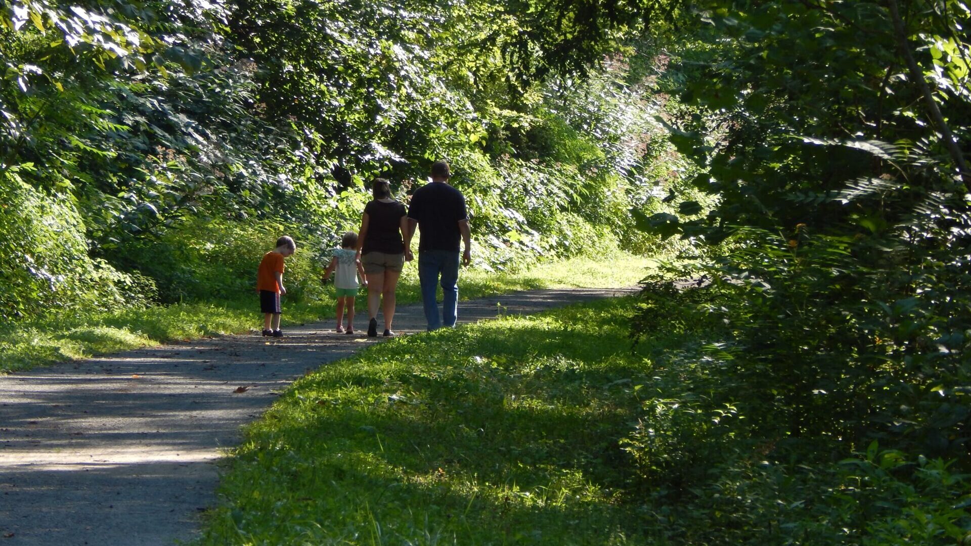
Read MoreMark Down these Family-Friendly Hikes and Bikes for Summer
Almost Heaven makes it easy for you and your family to spend time together outdoors. While hiking and biking trails vary in various levels …
Read More