


Cooler Weather, Tougher Trails: Fall’s Best Challenging Hikes in West Virginia
Explore further with AI
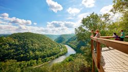
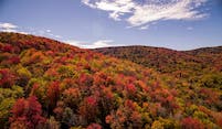
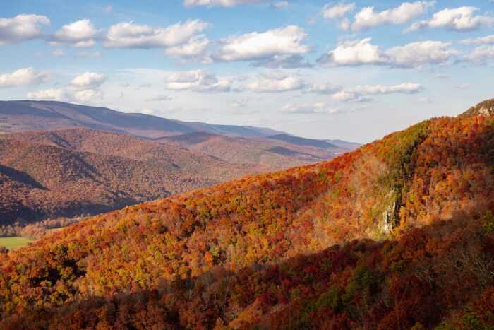
There’s always a reason to go hiking in West Virginia, and with fall colors making their way across the state, you’ll wish the trek lasted forever. From scenic wooded hikes to cliffside crawls, the Mountain State has a trail for all the challenge-seeking adventurers.
This fall, lace up your hiking footwear and take a cool, challenging fall hike in Almost Heaven. 🍁🥾
North Fork Mountain Trail to Chimney Top
Potomac Wildlife Management Area | 5.2 miles
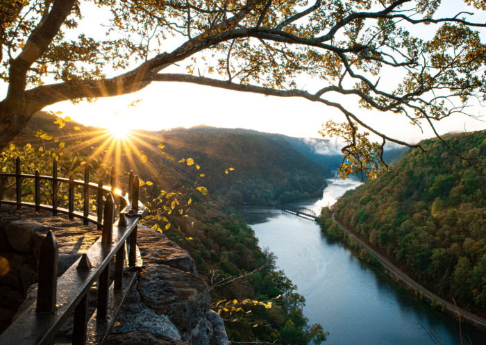
In Pendleton County, North Fork Mountain to Chimney Top is packed with sweeping ridgeline views and boasts some of the most scenic backcountry camping opportunities in Appalachia. In its entirety, the North Fork Mountain Trail runs nearly 25 miles, but to reach its best view, Chimney Top, you’re looking at a roughly 5.2-mile round trip out-and-back from the northern trailhead located on Smoke Hole Road. Be ready for an elevation gain of nearly 2,000 feet!
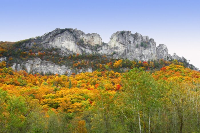
Seneca Rocks Trail
Spruce Knob – Seneca Rocks National Recreation Area | 3.6 miles
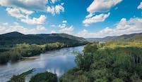
The Seneca Rocks Trail measures about 3.6 miles out-and-back and takes you through the beautiful wilderness of Spruce Knob – Seneca Rocks National Recreation Area. The trail is well-maintained and makes a great spot to enjoy stunning views of the Potomac River, with plenty of benches to take a breather or water break.
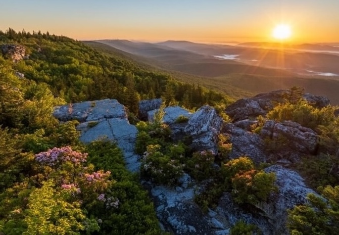
Red Creek Trail to Lion’s Head Rocks
Dolly Sods Wilderness | 7.3 miles
While there are multiple challenging hikes in Dolly Sods Wilderness, the Red Creek Trail to Lion’s Head Rocks will give you some of the best views. Begin by following Red Creek Trail to the junction with Big Stonecoal Trail. Cross Red Creek and begin hiking uphill. At the top of the climb, you will follow Rocky Point Trail to a spur leading to Lion’s Head. Here, you’ll be standing atop a scenic cliff with a panoramic view of the wilderness.
Blackbird Knob Trail
Dolly Sods Wilderness | 8.7 miles
Another stunning hiking Trail at Dolly Sods Wilderness is Blackbird Knob Trail. This trail is just north of the Red Creek Campground, begins in the forest, and then crosses a more open plateau area. The trail ends at the junction with the Rocky Ridge Trail. There are excellent views from the open areas, and you will hear and see the gentle flow of multiple creeks along the way.
Kaymoor Miners Trail
Fayetteville | 1.5 miles
Running parallel to the center of the gorge, Kaymoor Miners Trail is a 1.5-mile out-and-back path that passes through historical coal mine sites. Learn more about the land’s history, the mine operation and the communities that inhabited this area on posted signage. Once at the mines, you will follow an old mine rail trail through various views, waterfalls and cliffs. This may be a shorter hike, but you’ll gain over 950 feet in elevation along the way!

Have another fall Almost Heaven hike in you? Plan your next hiking trip with inspiration from our FREE West Virginia Vacation Guide and learn more!
Cool Weather, Cooler Hikes in #AlmostHeaven 🥾
One of the best ways to stay in the West Virginia loop is by following along with us on social media. From road trip ideas to must-visit trails, you are sure to be inspired by our feeds. Be sure to share your very own captures using #AlmostHeaven to be featured!
This post was last updated on December 9, 2025
Want to see more travel inspiration? Save West Virginia Tourism as a preferred source in Google