


A History Lover’s Guide to the Hatfield-McCoy Trails
Explore further with AI
The Hatfield-McCoy Trail System gets its name from the region in southern West Virginia where much of the world-famous Hatfield-McCoy Feuding took place. This feud took place along the Tug Fork of the Big Sandy River from 1863 to 1891 and was between the Hatfield family from West Virginia and the McCoy family from Kentucky. A region rich in coal mining heritage, the Hatfield-McCoy Mountains were one of the world’s busiest coal mining regions in the early 1900’s and is now deemed part of the National Coal Heritage Area.
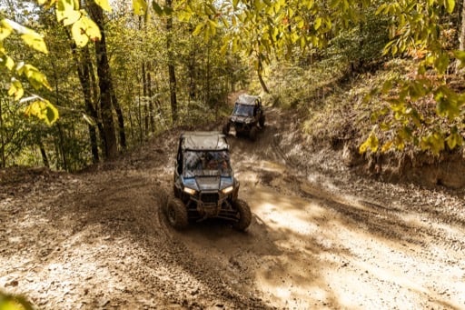
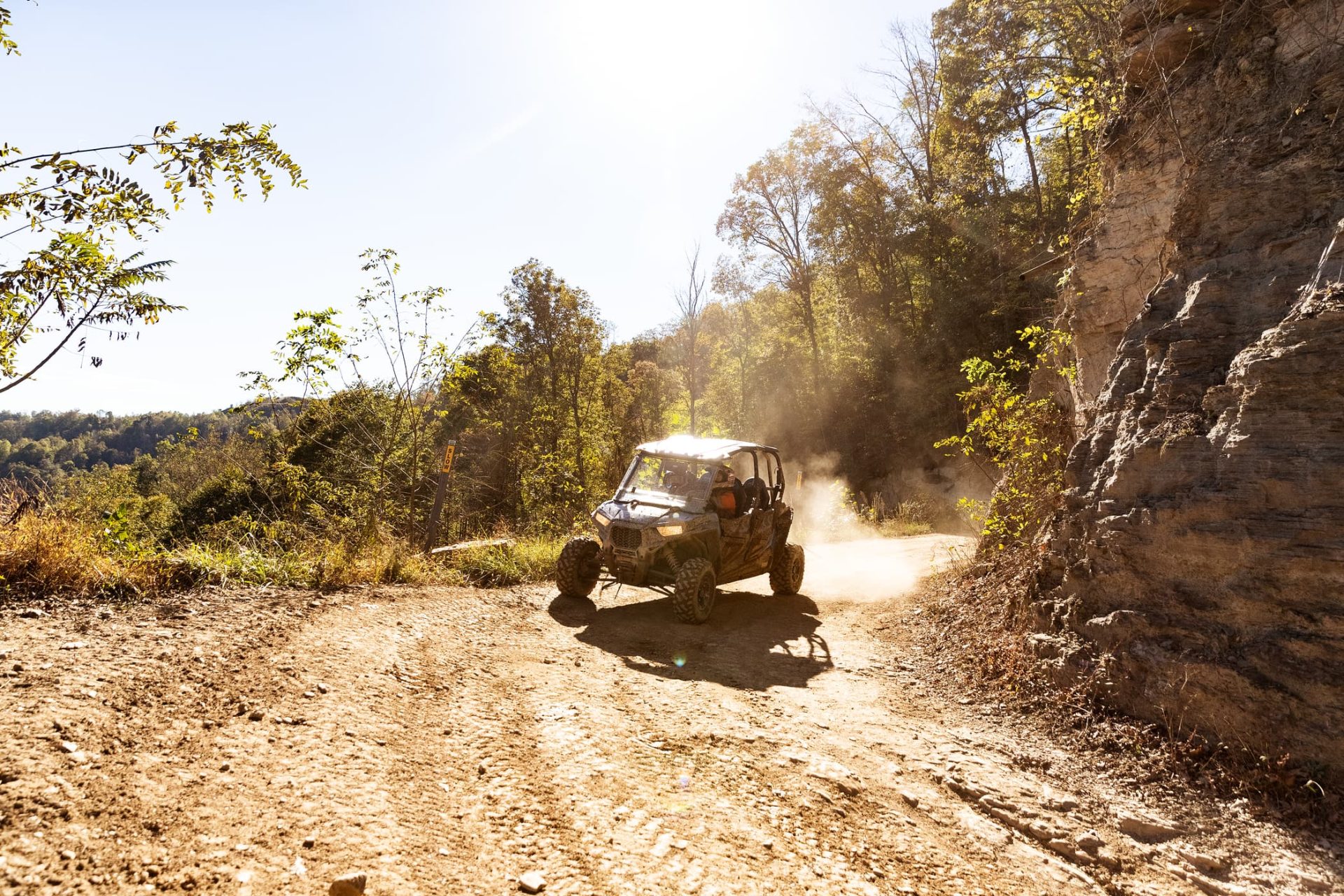
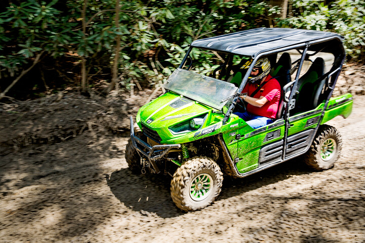
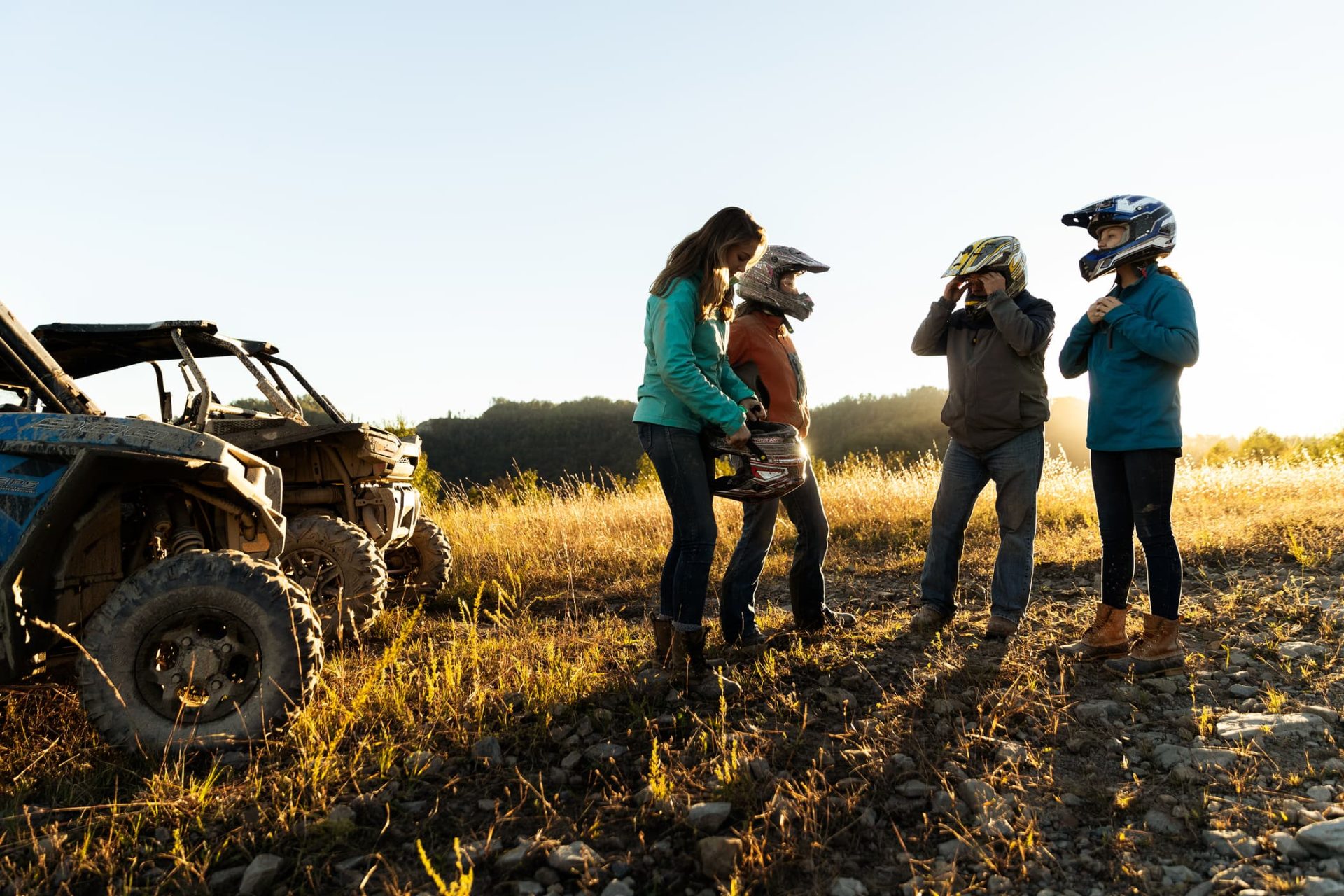
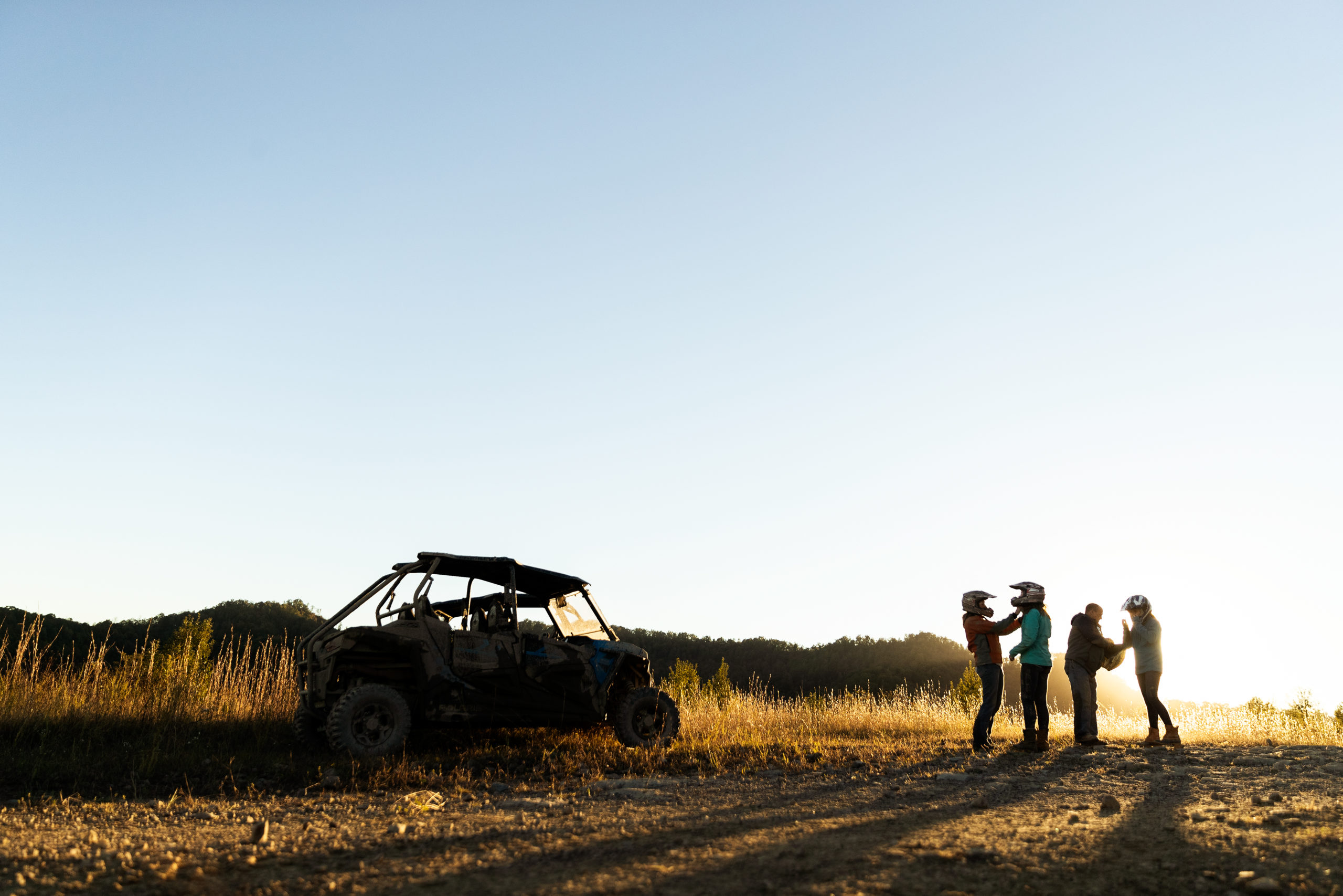
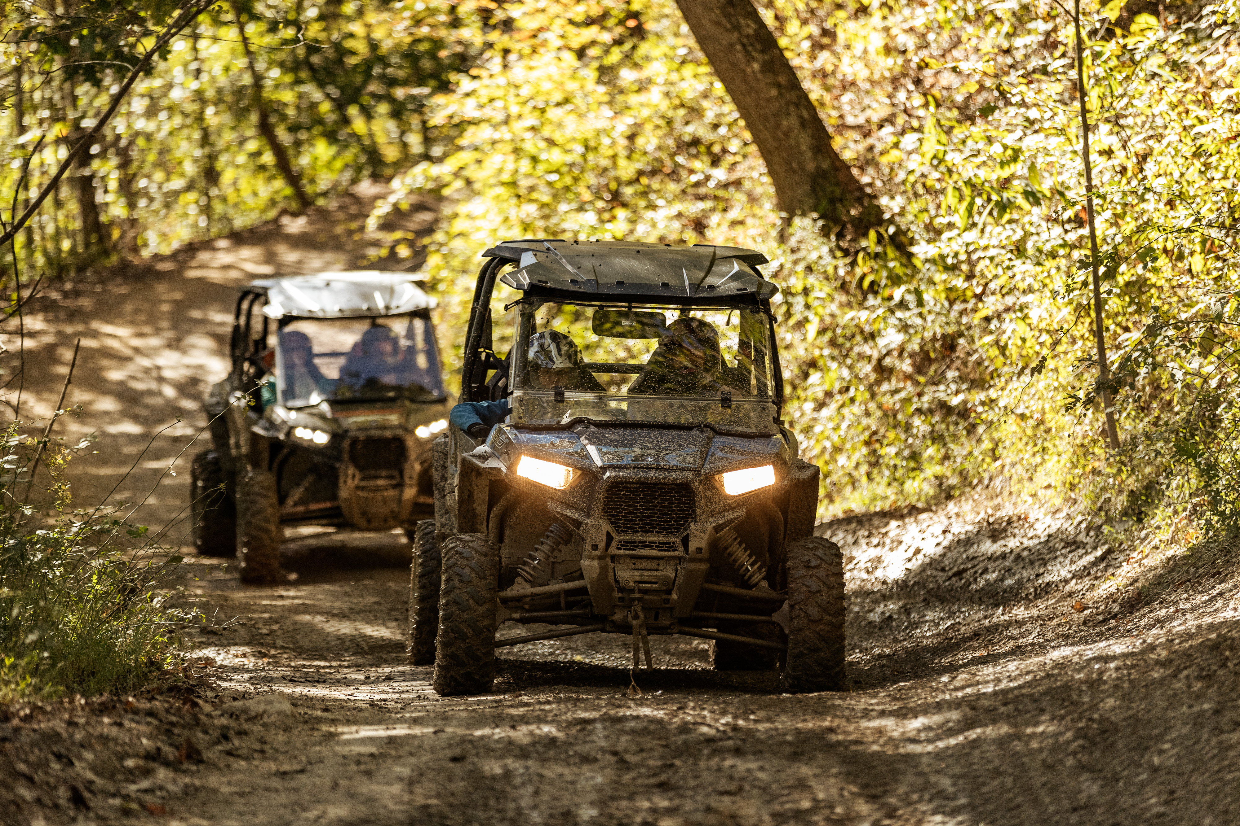
Rooted in history, the Hatfield-McCoy Mountains will bring you a little closer to Appalachian culture through beautiful rolling hills, thrilling adventure and true West Virginia strength. Learn more about this beloved tale as you travel back in time while exploring nearly 1,000 miles of trails.
Devil Anse
This trail system gets its name from the leader of the Hatfields, William Anderson Hatfield, who went by the nickname of “Devil Anse”. After fighting for the Confederate Army for two years, he and some of his family members left the army, returned home and joined a local Confederate militia known as the Logan Wildcats.
Asa Harmon McCoy was a Union soldier and also returned home in 1865 due to being wounded in battle. While Asa was recovering, he was murdered. Although no one was ever charged with the murder, it was rumored that Devil Anse and the Logan Wildcats were involved. Then, Devil Anse Hatfield got into a land dispute with Randle McCoy’s cousin, Perry Cline, in the late 1870s. Upon winning the land dispute, Anse was granted Perry’s entire 5,000-acre plot of land. Shortly after the verdict, Randle McCoy accused Anse’s cousin, and best friend, Floyd Hatfield of stealing his hog. This is when the famed armed confrontations and violent feud between the two families began.
Today, the Devil Anse Trailhead is located in the town of Matewan, historically known for being the heart of the Hatfield McCoy Feud. The trail system leads to direct access of gas, food and lodging.
Buffalo Mountain
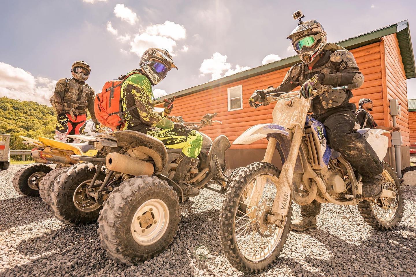
Passing through the Tug Valley area, the Buffalo Mountain trail system is known as the most historic, as well as the one with the most single-track trails which makes it popular among dirt bike riders. This system connects to the ATV-friendly towns of Matewan, Delbarton and Williamson, all of which offer convenient access to all of the essentials—gas, food and lodging. The Buffalo Mountain Trail System also connects to both the Devil Anse and Rockhouse Trail Systems.
Bearwallow
Bearwallow Trail System is located near the town of Logan and is one of the original three systems of the Hatfield-McCoy Trails. This system is best known for its single track and extremely difficult varieties. Its mix of effortless, relaxing views and challenging, daunting trails make it one of the most popular systems among the Hatfield-McCoy Trails. It’s also the only trail to be open to ORVs as well as ATVs, UTVs and off-road motorcycles.
Rock House
Rock House is the largest single trail system and features over 100 miles of trails, with an array of difficulty levels. These trails are ideal for riders looking for an “extreme” riding experience. With direct access to the ATV-friendly towns of Man and Gilbert, you’re sure to find your fix of southern hospitality along the way. This trail system also connects with the Devil Anse and Buffalo Mountain trail systems.
Other fan favorites include the Pocahontas Trail, passing through Mercer County and the former home of many historic American billionaires: Bramwell. As you explore this wild trail, make a turn onto McDowell County’s Indian Ridge Trail, packed with some of the most challenging terrains to be found on the Hatfield-McCoy Trails.
Adventure by day, rest well at night. Turn your wild trail adventure trip into a getaway—the options are limitless.
Explore Lodging Near the Hatfield-McCoy Trails
This post was last updated on April 11, 2022
Want to see more travel inspiration? Save West Virginia Tourism as a preferred source in Google